 Skip to content

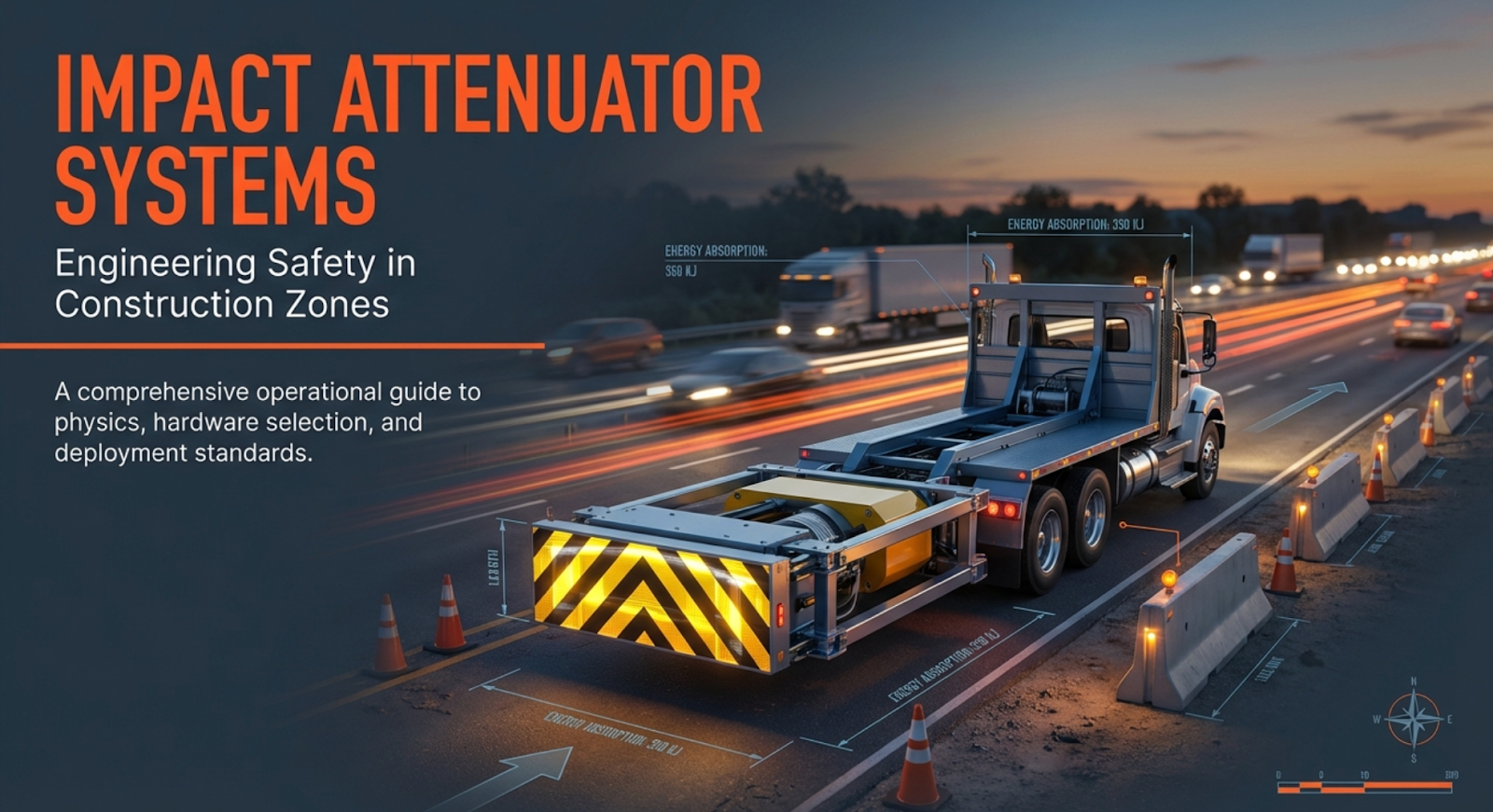
Impact Attenuator Systems in Construction: Types, Standards, and Deployment
An impact attenuator is a safety device specifically designed to absorb kinetic energy during a vehicle collision and reduce the severity of impact forces on motorists, construction workers, and fixed structures. In construction environments, impact attenuators, also known as crash

Falling Weight Deflectometer Explained: The Ultimate Guide to Measuring Pavement Deflections
A Falling Weight Deflectometer (FWD) is a non-destructive testing device used in civil engineering to evaluate the structural condition of pavements by measuring their deflection response to a simulated wheel load. It uses a load plate, load cell, and deflection
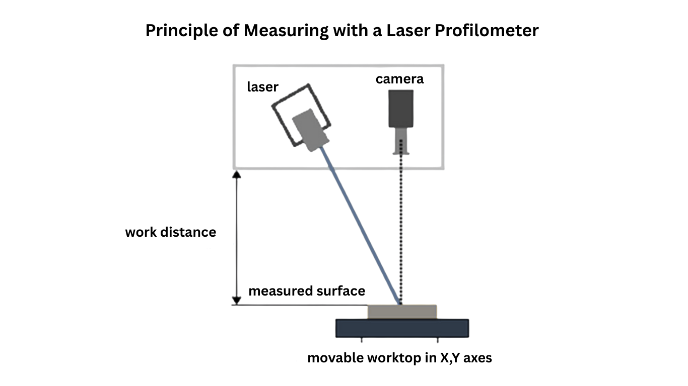
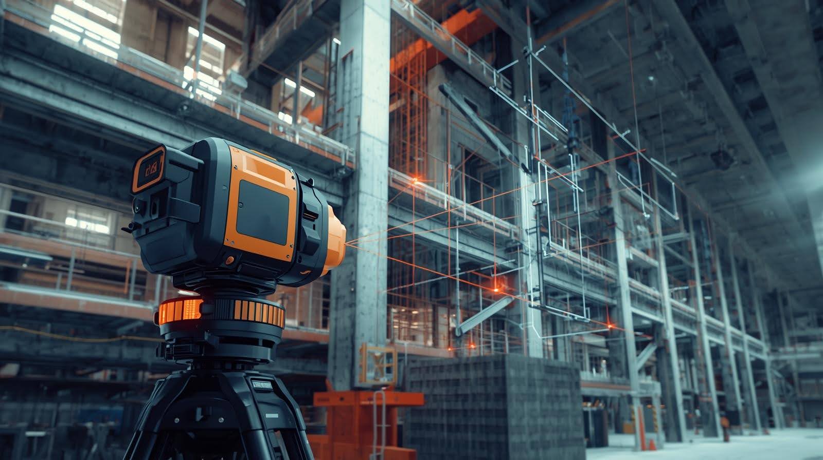
What is a Laser Profilometer?
A laser profilometer is a non-contact measurement device that uses a laser beam to capture high-precision, high-resolution data of a surface’s topography. It is commonly used in construction, infrastructure, and manufacturing to perform accurate and repeatable surface inspections on roads,
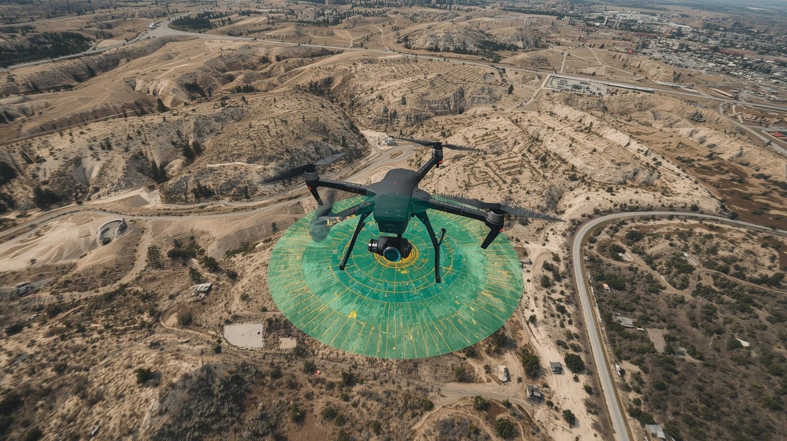
LiDAR Drone Survey: What It Is, How It Works, and Why It’s Transforming Modern Land Surveying
A LiDAR drone survey uses airborne laser pulses from a LiDAR sensor mounted on a drone to capture high-resolution spatial data of the ground surface, even through dense vegetation. By generating dense point clouds and precise topographic mapping, LiDAR drone
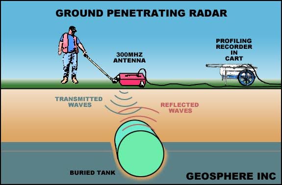
Ground Penetrating Radar (GPR):The Essential Guide for Safer Civil Engineering Applications
Ground Penetrating Radar (GPR) is a non-destructive geophysical method that uses high-frequency radar pulses to detect subsurface objects, voids, utilities, and structural anomalies. A GPR system transmits electromagnetic waves into the ground; when those waves encounter materials with different dielectric
The Best Uses of 3D Laser Scanning in Construction Projects
The best uses of 3D laser scanning in construction include capturing highly accurate site data for as-built documentation, pre-construction planning, and renovation projects. It enables faster, safer, and more precise measurements of existing structures, supports scan-to-BIM workflows, improves construction coordination,